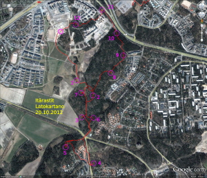
Saturday orienteering again.
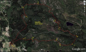
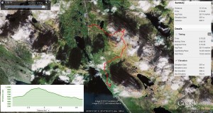
#2 a short but steep hill to climb from #1. Better fitness would not hurt 🙂
#3 and #4 not much to report
#5 biggest mistake of the day as I ran too far to a bigger road, not finding the small path that would have led directly to the control. Maybe 2-3min lost here.
#6 and #7 ok.
#8 again up that steep hill, resulting in not-so-great running speed once on top of the hill towards #8
#9 through #12 and finish were easy. Could have possibly saved time on #12 by running on the road instead of through the woods.
Time 51 min 19 s.
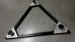
Triangular base for Dobson-mount
I made this triangular base for the telescope Dobson-mount we are building. It has three ca 640mm long 25mm-by-25mm aluminium profiles, cut at a 30-degree angle to make an equilateral triangle. It is held together with tapered pieces of 100mm wide 10mm thick aluminium bar that attach to the T-groove of the profile with M6 screws. Each corner has an adjustable foot.
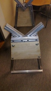
The mount that goes on top of this triangle is also from 25-25 alu-profile:
Stay tuned for hopefully some lunar and/or planetary images when this project is done.
Iltarastit, Stensböle
They have been running the "evening" orienteering events on Sunday midday for a while now, since it is quite dark after 17-18 or so. This is the last event for Iltarastit, but there are a few other clubs organizing these for a couple of weeks still this season.
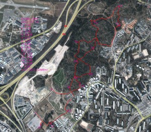
Nothing too dramatic on #1, #2, and #3. Then a lot of deep "canyons" and other steep places around #4 which caused some confusion - probably cost me about 5 minutes here. No problems at #5 but a bit of searching for #6 (not too much lost here, max 1 minute). Then I chose to run not straight, but along paths and roads to #7 - we shall see if that paid off when all the results are up on the web. Again a longer route along a path to #8. From #10 it would probably have been slightly faster to run in-between the houses to the road more directly. Nothing special at #11 and #12. Then #13 was drawn close to a fence, but I didn't really know on which side of the fence the control was - luckily there were others running to/from the control so I just followed them.
This took me about 57 minutes. If I could have avoided the big mistake at #4 and some smaller mistakes the time approaches 50minutes, which is OKish for amateur/fitness orienteering on a 5km course (for me anyway!).
Itärastit, Noux
Tromsö
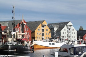
We drove north from Kilpisjärvi around 2 hours to Tromsö today.
More pictures: https://picasaweb.google.com/106188605401091280402/2012_09_14_tromso
Aurora borealis, Kilpisjärvi
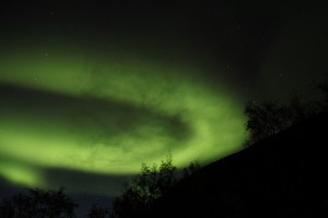
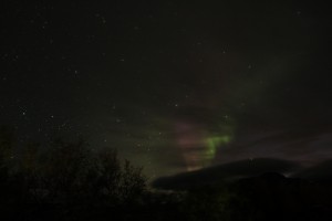
Some intense aurora borealis (northern lights) visible last night around 23:00. I stayed out watching and photographing until about 00:30 but it seemed the intensity was fading continuously while dark clouds also appeared.
As usual the camera sees a much more intense green, while the red is almost completely invisible to the naked eye (at least for me).
Here is a time-lapse video of all frames from last night.
Sallooaivi
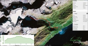
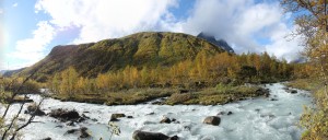
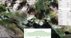
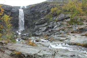
Steindalsbreen
Malla
Today we took a boat to the northwestern part of lake Kilpisjärvi. A 3km walk took us to the "Treriksröset" point where the borders of Norway, Sweden, and Finland meet. From there we hiked along the Arctic Trail 14km back to the research station along the shoulder of Malla. A lot of rain and some wind above 600m elevation.
Jehkas
Pictures: https://picasaweb.google.com/106188605401091280402/2012_09_11_jehkas
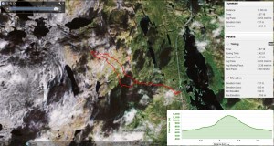
Climbed up Jehkas, 960m, today. Very cloudy/misty and a lot of wind at the top.
