Itärastit, Latokartano

Routegadget: http://www.rastihaukat.fi/cgi-bin/gadget/cgi-bin/reitti.cgi?act=map&id=42&kieli=

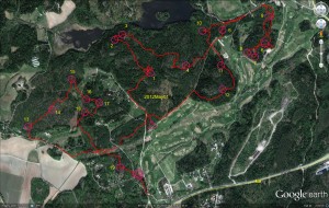
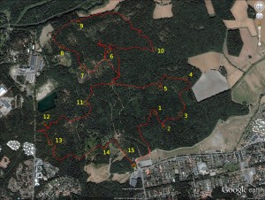
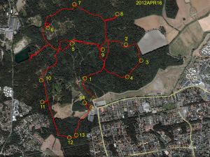
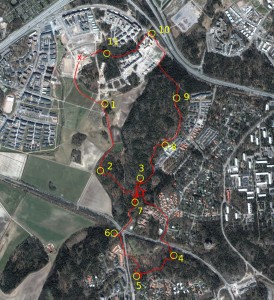
Spent an unbelievable 17 minutes looking for nr3... Should have gone directly east from nr2, but somehow drifted too much south, and then ran around in circles for a while, actually using nr7 to put myself back on the map.

Not sure I agree 100% with the placement of nr5 (and thus the squiggle in the gps-trace), I feel it was in reality placed slightly differently compared to how it was drawn on the map.

Otherwise mostly OK.
Söderkulla Seventy

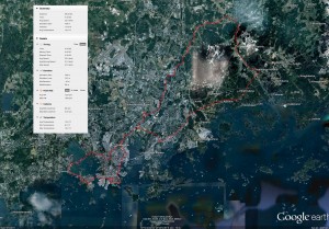
70.33 km in 3h 21min, avg. 21.0 km/h

Sunday 59k

I put on new 32mm wide tires on the road-bike and took it out for a spin. Sunny but windy weather with what seemed to be a headwind in every direction...

59.2km in 3h 21min (avg 17.6km/h)
(You have to zoom in or out to see the GPX-track. I'm not sure why that is happening)

Aluerastit, Kumpula

First orienteering event of the year. 5 km course.

Critical Bikeride, April 2012

Hey I'm trying the OpenStreetMap plugin for wordpress. It should allow showing maps, places, and GPX-tracks in the blog.

They did have a critical bikeride in March already this year, but it was quite snowy and rainy so I didn't participate.

Today there were 130-140 participants.

Last year I think I participated in these events to raise awareness for bicycling four times: June, August, September, and October.