Tag: 50k
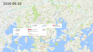
Espoo 50k
The roads are mostly washed and free of gravel/sand...until about ring-II (13km). There's a new XXL store at around 16km. Some indecision around Espoo center 22-24km with the bike-path not very clearly marked. A quick stop for a drink & snickers just before 40 km, then into Helsinki central park which is now free of snow. Punctured the rear wheel at about 52 km so I had to walk about 2 km home.
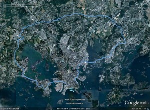
55k ringroad ride
Friday biking
A loop to Espoo and back. 47 km in about 2 hours.
[osm_map lat="60.178" long="24.779" zoom="11" width="600" height="450" gpx_file="http://www.anderswallin.net/wp-content/uploads/2013/06/activity_324476497.gpx" gpx_colour="blue" type="Mapnik"]Monday 47k
Sunday 59k
I put on new 32mm wide tires on the road-bike and took it out for a spin. Sunny but windy weather with what seemed to be a headwind in every direction...
59.2km in 3h 21min (avg 17.6km/h)
(You have to zoom in or out to see the GPX-track. I'm not sure why that is happening)
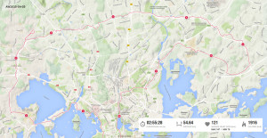
Friday 50k ringroad bike ride
Note to self: when biking after 21:00 in late August bike-lights would be a good idea!
This is the third time I've ridden around the ringroad (see June 11th and June 24th), but I still can't seem to get the navigation right. I always get lost at some intersection or take a dead-end road somewhere...
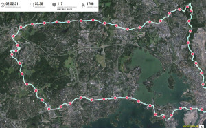
Friday 51k ringroad ride
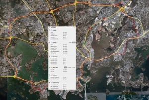
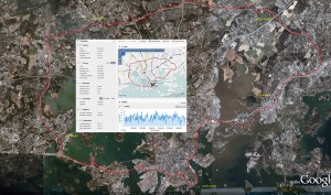
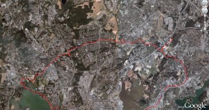
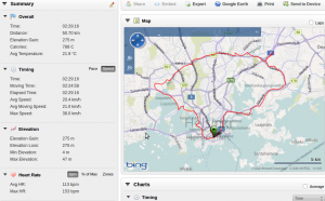
A better attempt at riding the ring-road, as I didn't get lost as often as two weeks ago! Average speed also up from 20.4 last time to 23.0 km/h (2h 14min total time) this time. With some practice and better negotiation of the big intersections this will become a 50k training ride in two hours flat.
Saturday 50 k bike ride
Tuesday 50km bike ride
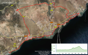
Despite aviation strikes both in Finland and in Spain I am back home and can move all the GPS-data onto the laptop (remember to pack the ANT usb-stick next time!). I've added pictures of the GPS traces for the Sunday (half)marathon, Wednesday sailing trip, and Thursday bike ride to posts below. Here's some biking from Tuesday:
Starting from Puerto del Carmen it is a flat ride along the coast past the airport to Arrecife. From Arrecife to Costa Teguise we couldn't find a nice bike path but were forced out onto busy roads with cars. Through an industrial area with the harbor and a ghost-ship. Some light lunch in Costa Teguise before heading uphill. There's a really steep climb at 25km on the elevation curve which is just after the golf-course in the upper right corner of the picture, heading up towards Tahiche. From there we took an unpaved road towards San Bartolome and another quick stop before rolling downhill to the coast again.
