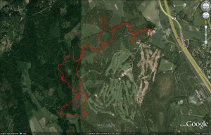
Night orienteering! Always a bit harder to see the surroundings and easier to make mistakes.
Tag: aluerastit
Lost inside the control-circle
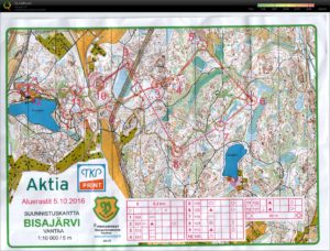
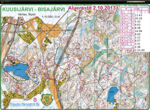
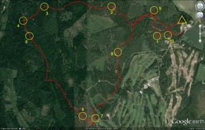
Night-orienteering yesterday at Kuusijärvi. I managed to be "lost inside the control circle" on four of the ten controls. Being so close to the control and not finding it usually never happens in daylight - but darkness changes everything 🙂
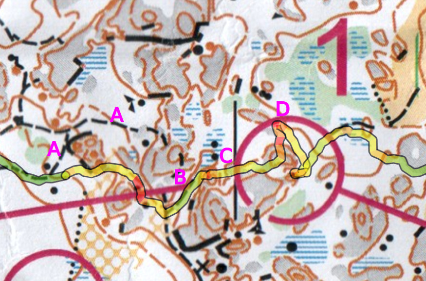
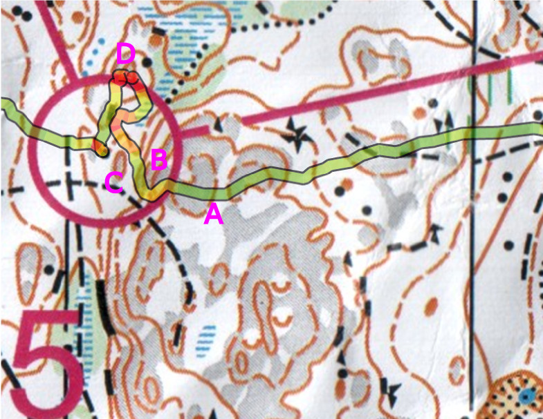
#1: the plan is to use path (A), but I find (B) instead and that works too. North towards the blue swamp with two stones (C), turn right and up onto the grey cliff/hill, and the control should be there. Well no, down the wrong direction of the hill and stop at D. It has to be this hill anyway so I turn back and see some other runners who come out of the control.
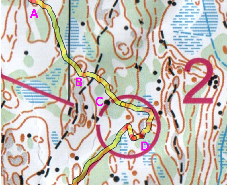
#2: On the way to the control hills (A) and (B) are more or less easily recognizable. Then I failed to notice the path between (B) and (C), and didn't see the large stone (C). Aimless circling around until I find the surprisingly large stone (D) (why wasn't it drawn larger?) and ca re-locate roughly on the map.
#5: on compass bearing up the hill A, and then down the steep slope B. Yes! I see the smaller bump C and the control is right behind that one. Eh, well no, maybe it's more north. Meet some other runners at D, turn around, and find the control.
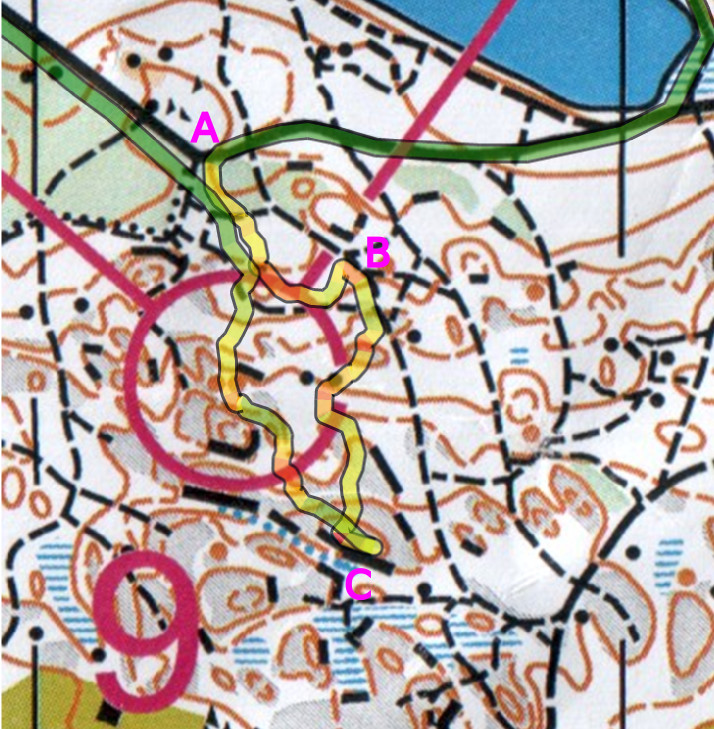
#9: Clearly a difficult control with lots of detail on the map. So a careful start from the very clear corner in the big path A. The plan is to go straight south to the control but the network of paths causes drift to B before my direction turns properly south. Onward south then, but no control in sight and I finally relocate at the highest point on the hill with a steep cliff C. From there finding the control is straightforward.
Aluerastit, Ilola
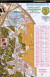
Aluerastit, Länsimäki
An interesting course with controls #1-#9 in a very detailed area, then a few longer legs to #12 where the course criss-crossed over the swamp a few times before heading back south to the finish.
No major mistakes just minor ones: after #3 did not clearly identify the path, and took a wrong direction down the hill to find #4. Then on the #10-#11 leg I did not want to cross the deep "trenches" on these cliffs, so I back-tracked to avoid the trench (dark brown line on the map).
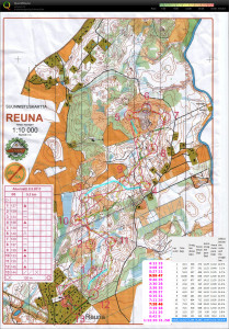
Aluerastit, Reuna
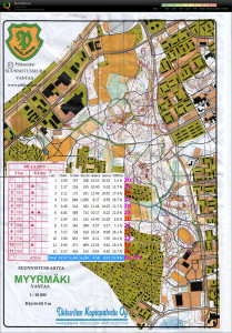
Aluerastit, Myrbacka
Aluerastit, Keimola
Aluerastit, Mejlans
3k sprint course. The sprint map is 1:5000 scale which caused some confusion directly at the start on #1. Then mostly OK until #14 which I searched for a bit. Total time 32 minutes so getting close to a reasonable pace of 10min/course-km.
Aluerastit, Kumpula
First orienteering event of the year. 5 km course.
